|
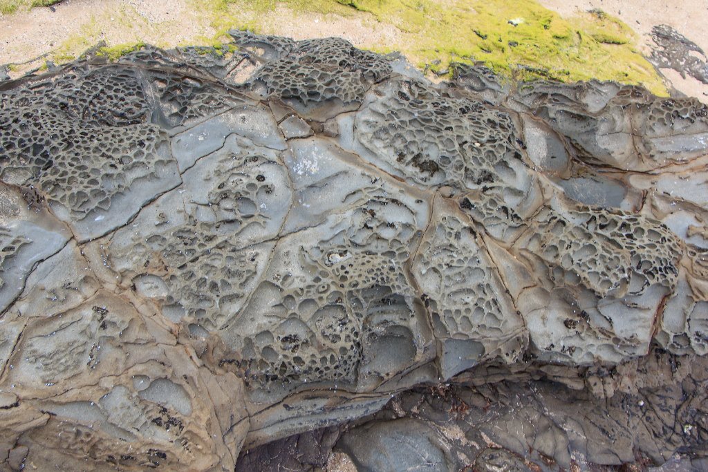 |
| 05-The sea has eroded the rocks | |
| Latitude: S 38°41'36,38" | Longitude: E 143°48'35,23" | Altitude: 1 metres Unknown (1) | Location: Kennett River | City: Grey River | State/Province: Victoria | Country: Australia | Copyright: Ron Harkink | See map | |
| Total images: 12 | Help | |